 Webinar: Mapping Invasive Plants in a Coastal Forest
WEDNESDAY, June 26, 2024 1:00 PM – 2:00 PM
Presenters: Shelby Larubina, CT NERR & Cary Chadwick, UConn CLEAR
Details & register: s.uconn.edu/invasive-mappi
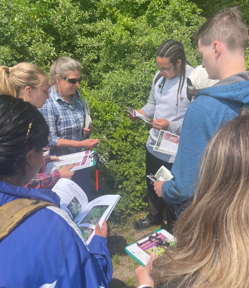
The newly designated Connecticut National Estuarine Research Reserve encompasses ~52,000 acres of upland, marsh, sandy beach, rocky shoreline and open water habitats in Southeastern CT. One of our first efforts in habitat mapping aimed to quantify the spatial distribution and variety of invasive plants in our upland properties and initiate planning for an ongoing program of invasives removal and habitat restoration. With the support of a GIS specialist and experienced botanist, students and staff new to plant identification utilized a FREE mobile mapping app to record data and photographs in the field. This rapid assessment approach effectively sampled over 150 sites across two State Parks over two months. Results reveal patterns of invasion and inform priorities for future eradication or control, with an eye toward the broader use of the approach as a rapid survey protocol of terrestrial invasive plants.